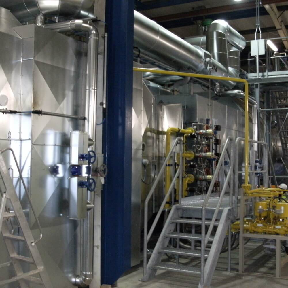
Our state-of-the-art laser scanner captures high-speed, precise three-dimensional data, creating detailed digital records with exceptional accuracy. Integrated with SCENE cloud software, this advanced technology generates highly detailed 3D images of intricate environments and geometries which can be fed into Building Information Modeling software. By assembling millions of measurement points, it provides our teams with real-time, actionable visuals in a remarkably short time.
HOW IT WORKS
By giving us a 3D photographical survey and 3D point cloud data, we can utilise these in conjunction with topographical surveys, alongside drain and sub ground surveys. Our engineers will then add this information into Building Information Model systems, which can be transferred into various third party software providing us with airflow and structural analysis, as well as asset management and virtual walkthroughs.
BENEFITS OF 3D SCANNING
» Construction Planning – scan existing building for extensions or internal installations
» Construction Installation Quality Control – check accuracy of steelwork and equipment
» Equipment Retro-fit – equipment install in plant, clash checks, vertical start-ups and overall efficiency
» HAZOP Analysis – installation, operational risk and logistics analysis, maintenance access
» Fire Escape Route Planning – Virtual walkthroughs of existing plant with new install
» Virtual Site Visits – reviews the plant remotely
» Dangerous Area Surveying – including the ability to view from the ground
» Engineering Planning and Compliance
TALK TO OUR TEAM
We’re here to offer help, support, expertise and guidance before, during and after your project…


